

Latest Weather Blog
Wednesday Midday Video Forecast
Related Story
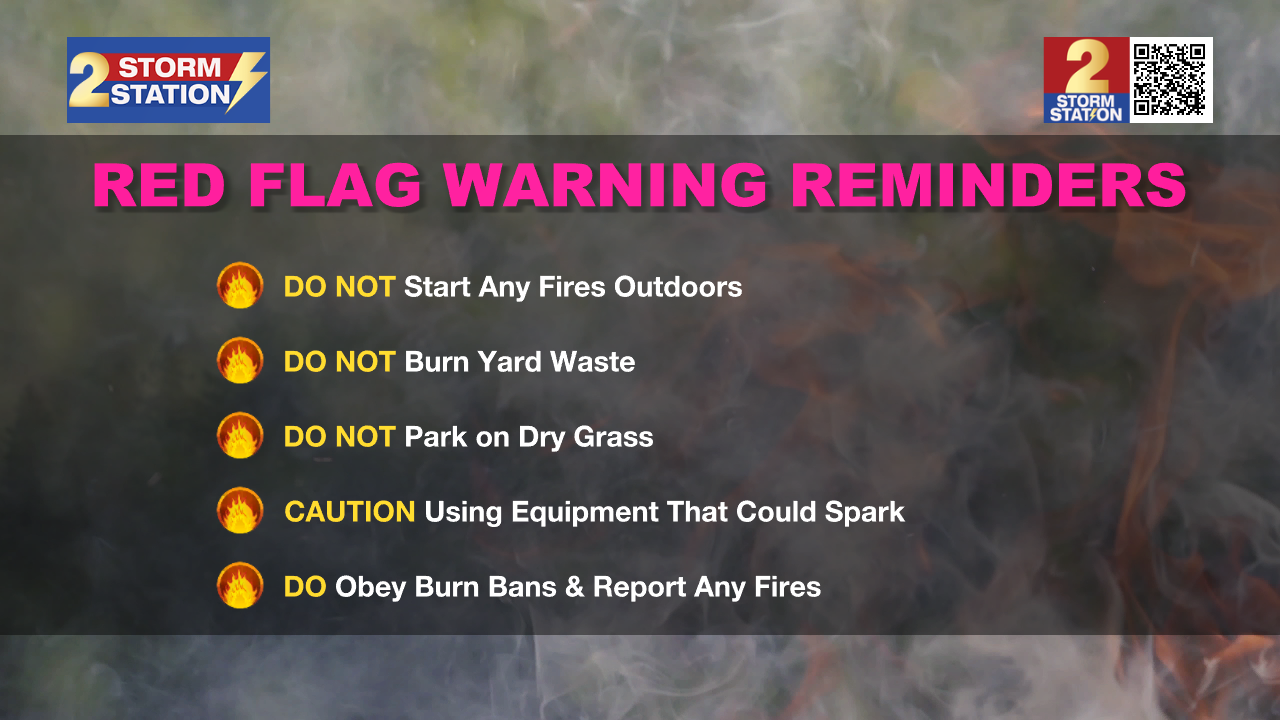
Breezy winds and extra dry air rushing in behind a cold front raise the concern for Fire Weather on Wednesday. When enjoying the cooler temperatures today, avoid fire-related activities.
Today & Tonight: Elevated winds out of the northeast between 15-20 mph on Wednesday will help usher in a very cool air mass into southern Louisiana. Temperatures will drop throughout the early morning hours, resulting in the Capital City seeing a low near 53° before the sun rises. Parishes near the state line could even dip into the upper-40s early Wednesday. Then, under full sunshine, temperatures will struggle to warm this afternoon. Highs will be in the low 70s and light jackets will likely be needed for the majority of the day.
Tonight, skies will remain clear for those hoping to catch another glimpse of a comet in the early evening sky. While viewing the comet, temperatures will quickly begin to cool after sunset, ending up in the mid-40's by early Thursday morning.
A Red Flag Warning is in effect on Wednesday from 8 a.m. to 7 p.m. to account for very dry and breezy conditions across southern Louisiana and Mississippi; outdoor burning is not advised. Combined with the dry soils from the recent lack of rain, there will be a risk of rapid fire spread should any ignite.
Up Next: Winds will relax into Thursday, alleviating wind chill concerns during the coolest morning in months. High temperatures Thursday and Friday will remain in the 70s under full sunshine and the same very dry air. Temperatures will then gradually warm into the weekend. But even then, it looks rather comfortable with highs in the 80s and lows near 60° each day. The opportunity to see rain remains extremely slim through the next week so keep watering those lawns and plants to makeup for the very dry conditions.
Get the latest 7-day forecast and real time weather updates HERE.
Watch live news HERE.
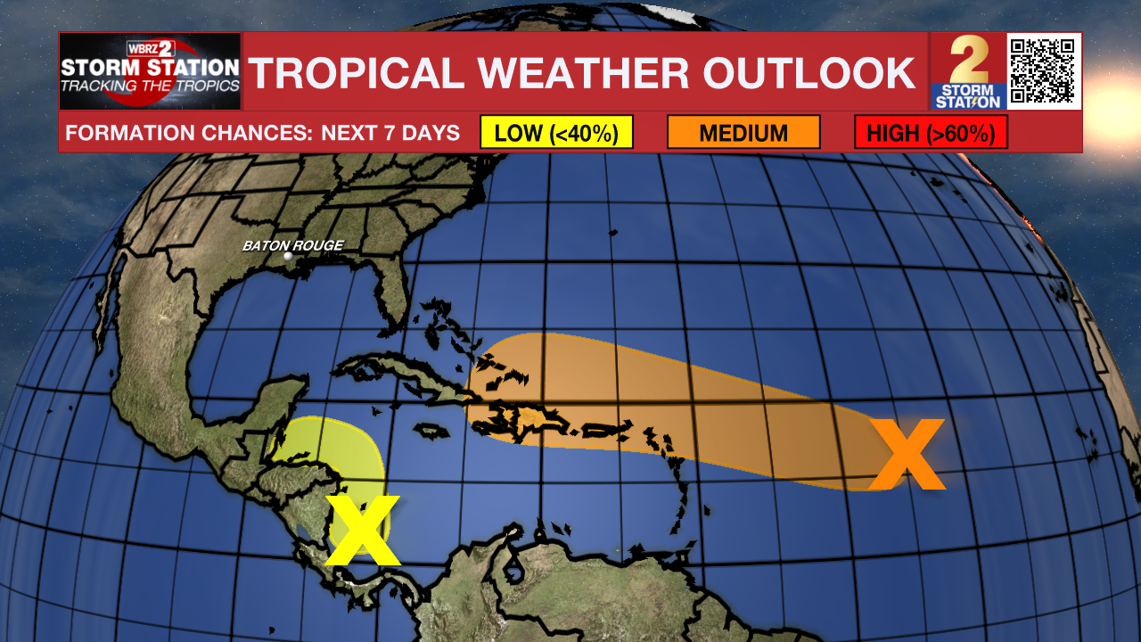
The Tropics: An area of low pressure located over the central tropical Atlantic remains disorganized. This system will move westward in the coming days. As that happens, environmental conditions will become slightly more conducive for tropical development by the middle to latter part of this week. A tropical depression could form as the system moves toward the Leeward Islands late this week.
There is another area of showers and thunderstorms in the southwestern Caribbean Sea associated with a broad area of low pressure. Gradual development of this system is possible if it can stay over water while slowly moving northwestward toward Central America. Regardless of development, locally heavy rainfall is possible across portions of Central America later this week.
- Emma Kate C.
The Storm Station is here for you, on every platform. Your weather updates can be found on News 2, wbrz.com, and the WBRZ WX App on your Apple or Android device. Follow WBRZ Weather on Facebook and Twitter for even more weather updates while you are on the go.
News
